Feature List
ENCX is a software development kit supporting a number of different Marine Chart formats on Microsoft Windows platforms. It is aimed at developers who use C++, Visual Basic and .NET languages.
ENC (S-57) Electronic Navigational Chart
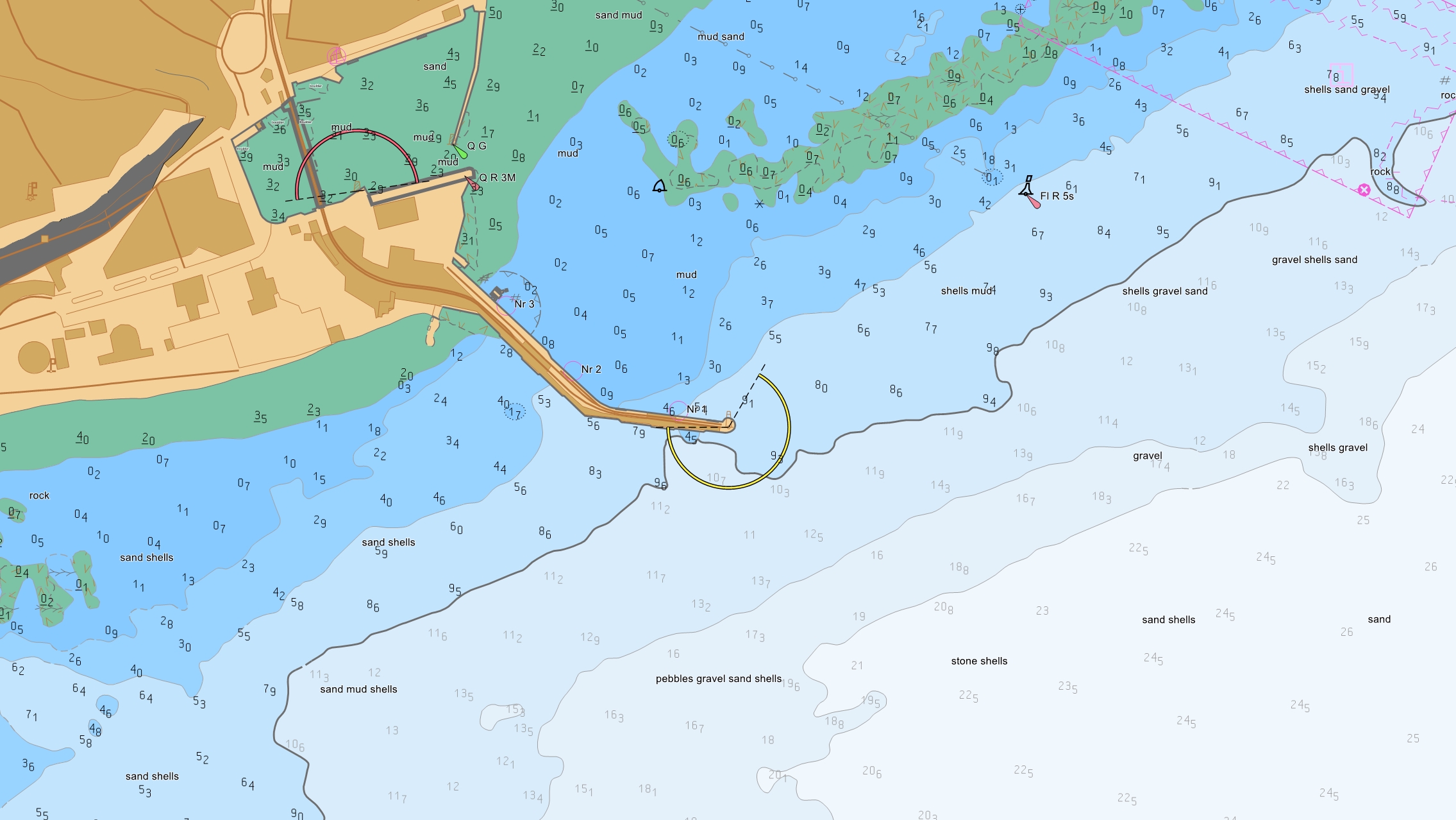
- Display of Chart image
- Conversion between geographic (lat lon) positions and pixel positions to support overlaying of graphics over chart information.
- Installation and updating of ENC data from all sources (including Primar, IC-ENC, NOAA, Japanese Hydrographic Office).
- Access to S-57 feature information. For example a program could be written to find all soundings in a geographic area.
- Chersoft World Vector Shoreline allows for easy location of chart information.
Admiralty Raster Chart Service (ARCS)
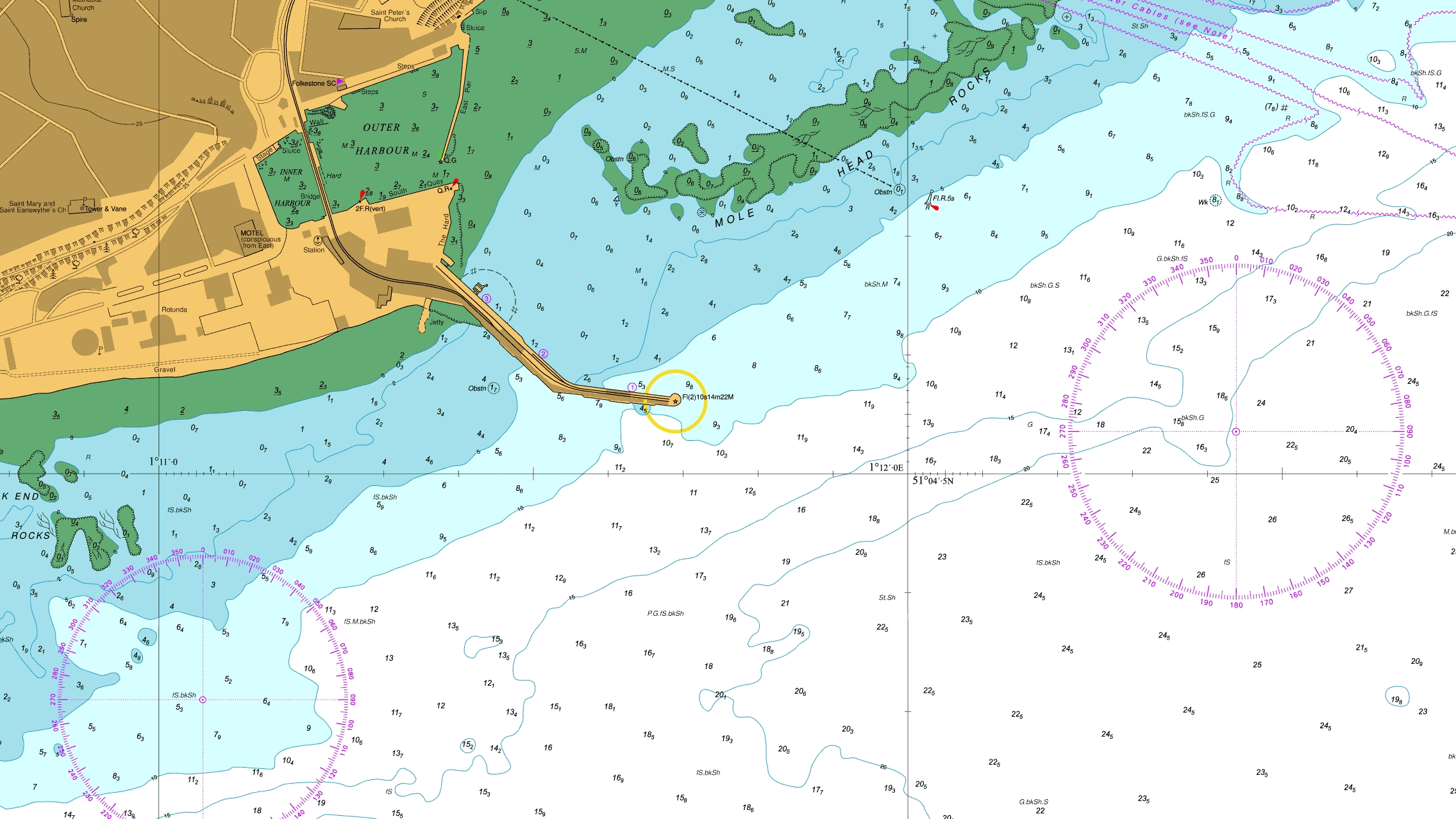
- Display of Chart image.
- Conversion between geographic (lat lon) positions and pixel positions to support overlaying of graphics over chart information.
- Fully supports UKHO ARCS licensing system.
- Installation of charts from UKHO CDs.
- Updating of ARCS charts.
- Access to supporting information about the chart (e.g. Datum information).